Given how big and successful Bicycle Victoria is, how popular cycling is becoming in Victoria, and how many fantastic bike paths there are, the signage of bikepaths, and their ease of use is astonishingly bad. For a long time after moving into Abbotsford, I remained confused about which of the two possible ways to proceed in order to get to the city, starting from the Walmer St bridge near Victoria Gardens or the Gipps St bridge. The thing is that to get to the city from there, you have to go in the opposite direction from the city, via Hawthorn, before looping back with the Yarra towards the city. Very counter-intuitive.
But is there a sign at either one saying “City this way” (or “Dights Falls this way” or “Merri Creek path and CERES 1.5 km this way” or “Abbotsford Convent next exit”)? No. There should be a coloured line painted on the bike path so you can just follow that, just like in a hospital, all the way to the end. Furthermore, there should be little paper maps freely available. I have tried to ride the Capital City Trail, but when I go through the Royal Park station near the Zoo I have no idea where to go next. All this is why this site is a useful thing.
Thanks to Amy Walters for bringing it to my attention. The beautiful photo is courtesy of A J Shcroetlin of Colorado.
So I’m still confused…how does one ride from Dight’s Falls into the City again?
Ok. I’m going to do a post about that, with photos, just for you. Maybe in a little while though. Stay tuned. Meanwhile, basically, you find the side of the river which has the bike track on it. You head from the Falls towards the factories converted into apartments. You travel between the Collingwood Children’s Farm and the Abbotsford Convent. You climb the steps and then instead of heading into the streets, you cross the pedestrian bridge over the Yarra. In the park on the other side, you veer right and go along Yarra Boulevard until you take off through some gum trees off to the right on what is obviously a bike path. You cross another bridge (Walmer St) and again, instead of heading into the streets, you go down a ramp next to the Metropolitan Fire Board training centre. Via Hawthorn, you then just follow the bike path all the way to the city. If you veer left at a fork, you go along the Botanic Gardens side of the river and end up at the Arts Centre. If you veer right, you go along the other side, for some of the way along a floating bike path, and end up at Federation Square.
Thankyou AbbotsfordBlogger! I am going to try and follow those directions this Sunday on the bike ride with my friend…but will be looking forward to a separate post with photos in the future!
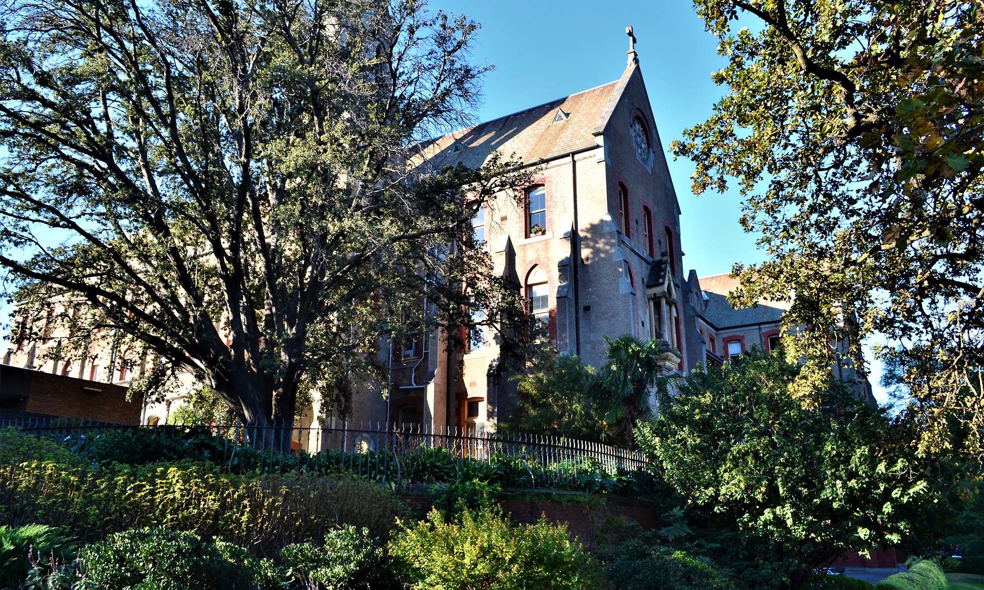
The steps you mentioned after the Collingwood Children’s Farm and the Abbotsford Convent always get the better of me. I get there, but am too hesitant to carry my bike up the stairs – at 5’2″, I’m scared I’ll topple down the stairs and end up on my rear with my bike on top of me! hehehe
Thank you again!
You have two options. You could either get a light bike, or for several thousand dollars less, you could swallow your pride and ask someone else to help you with the bike. I see people do that quite regularly. There is another alternative. There is a steep bitumenised ramp which goes up off the bike track. From memory it has a sign telling you the distance to Smith St and Brunswick St. You end up (I think but could be quite wrong) in the Abbotsford Convent car park. From there, with a map, you can easily wend your way through the backstreets of Abbotsford to Gipps St where you can rejoin the bridge across the river and continue into the city.