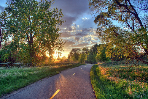
Now this is what I call a great inovation: Bikely. It plots bike paths, and users’ favourite on-road bike routes, on a street directory, and lets you look at the map in three views: standard street directory, Google world satellite imagery, or the latter with key roads superimposed (‘hybrid view’). Check out the 10 km loop taking in the Yarra Boulevard here, for example, and the instructions here. All Abbotsford routes here. The first hyperlink in this post are to all Victorian routes — 1616 of them. It also has running routes, which must also be walking routes. It will be interesting to see whether it is possible to put links to Flickr images in the instructions. Maybe one day I’ll finish this blog’s first ever post, and plot the King Walk from the Carringbush to Dights Falls on the site as a running route. The beautiful photo is courtesy of A J Shcroetlin of Colorado. Leave a comment if you think this site is as great as I do.

That is a great service and help. But what about Australian government start regarding the bicycle as a viable means of transport and providing safe paths to the city – not scenic routes but the shortest. thanks Karen
Where’d that beautiful pic come from? I want it as my desktop background!
Nice Post. Love the pic. Thanks.